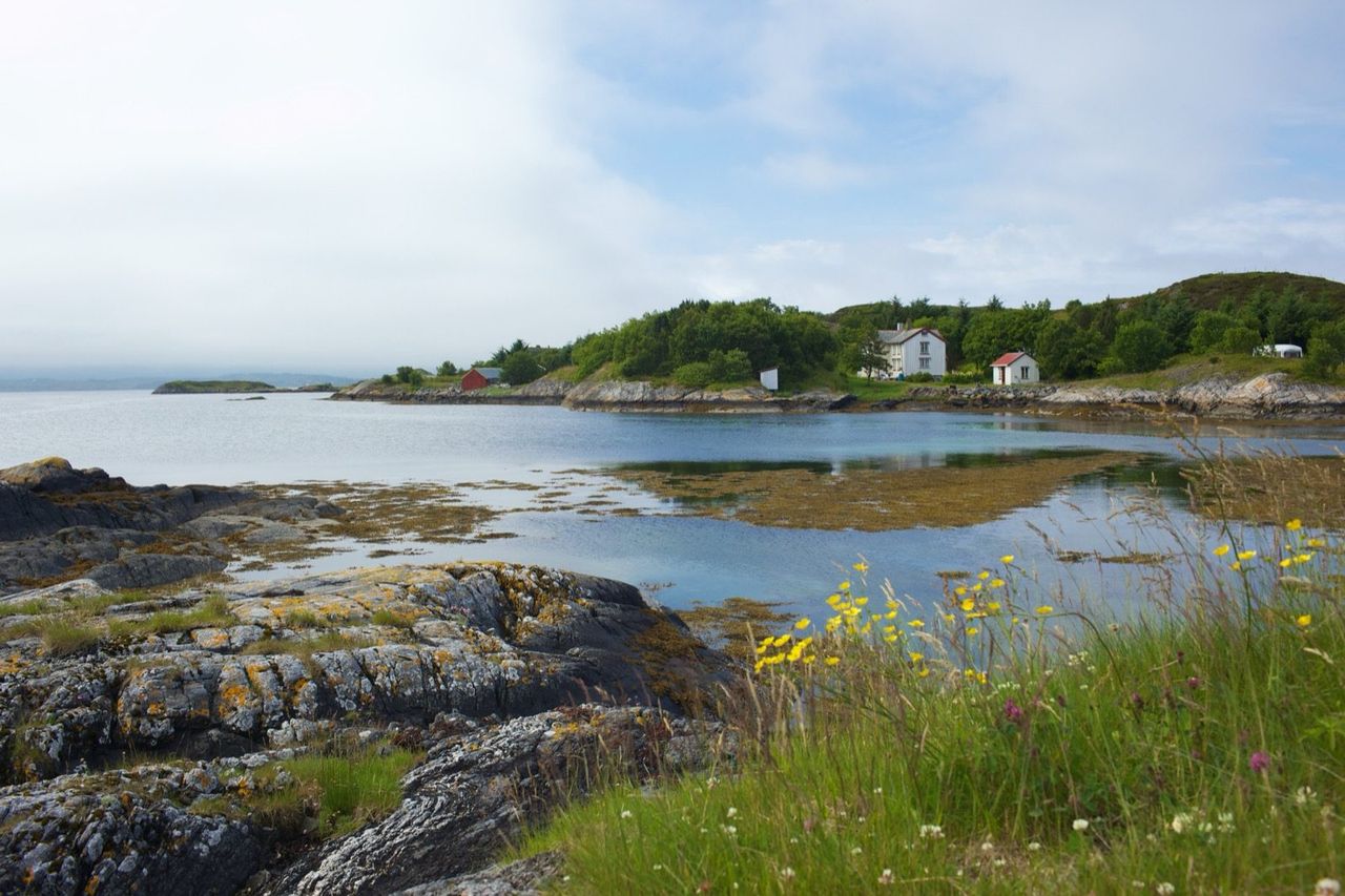
The Atlantic Road proper is 8,274 metres and eight bridges. You can cross it in a quarter of an hour, and almost everybody does — which is why the people who stop have the viewpoints to themselves.
Last updated 14 August 2026
Fifteen minutes to drive, a day to do properly
The stops below run south to north — the direction you drive if you come up the coast from Bud and Molde, which is the better way round because it saves the bridges for last. Coming from Kristiansund, read the list backwards.
Askevågen viewpoint
Before the Atlantic Road proper, on the Hustadvika stretch of the scenic route. An architect-designed platform pushed out towards the sea, with angled glass panels that hold the spray off while leaving the view open. On a rough day this is the safest place on the whole coast to stand and watch the Atlantic behave badly.
Most people drive past it because it comes before the famous part. Do not.
Vevang and the eastern end
Vevang is where the Atlantic Road begins. There is a rest area with sculptural stone installations, and it is the first place you get the full sense of what the road is doing — leaving the mainland and heading out into open water on a chain of small islands.
It is also the best place to stop and decide how much time you are giving this. From here to Kårvåg is eight kilometres and the temptation is to keep driving.
Storseisundbrua
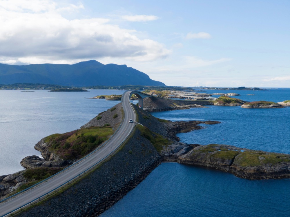
The bridge everyone has seen. It is 260 metres long, with a main span of 130 metres and 23 metres of clearance underneath, and it is built on a curve that makes it look — from exactly the right angle on the approach — as though the road simply stops in mid-air above the sea.
That angle is the photograph. It is taken from the road itself as you come up to the bridge from the south, or from the marked layby just before it.
Do not stop on the bridge. It is a live county road with no hard shoulder, and in bad weather it is genuinely unsafe. Use the laybys at either end — they exist precisely because everyone wants this picture.
Eldhusøya
The best single stop on the road, and the one most people miss because the parking is easy to drive past.
Eldhusøya is a small island beside Storseisundbrua with an elevated steel walkway looping around it, raised above the vegetation so the ground underneath is left alone. The walk takes twenty minutes and gives you the road from the outside — the bridges strung across the water, the open sea beyond, and, if the weather is doing anything at all, waves working on the rocks below you.
There is a service building with a café at the car park. Opening hours are seasonal, so treat coffee as a bonus rather than a plan in November.
Kårvåg and onto Averøy
The western end, where the road lands on Averøy. From here it is about fifteen minutes to Ekkilsøy and our jetty, and about half an hour on to Kristiansund through the Atlantic Ocean Tunnel.
Kårvåg is also the practical end of the trip: fuel, a shop, and the point where the drama stops and the island's ordinary working life takes over — fish landing stations, boat sheds, sheep on the heath.
Two more, once you are on the island
Neither is on the Atlantic Road, and both are worth the detour on the same day.
- Bremsneshola — Norway's largest cave, 80 metres into Bremsneshatten, with Stone Age settlement sites nearby and a stone wall inside that has puzzled researchers since the eighteenth century. Free, unlit, and about 25 minutes from us. Bring a torch and shoes you do not mind scrambling in.
- Kvernes stave church — a wooden church from the 1630s watching the fjord from a site that has been sacred a great deal longer. Guided tours in summer; the setting alone is worth the drive at any time of year.
If you want the full day, add the boat to Grip from Kristiansund and you have covered a thousand years of this coast between breakfast and dinner.
Kristiansund itself is worth the other half of that day — four islands stitched together by the oldest harbour ferry in Norway, and the clipfish trade that paid for the whole town.
Keep reading
Is the Atlantic Road open in winter?
It never closes for snow — but storms are a different question.
Read the guide
The best time to visit
What each month on this coast actually gives you.
Read the guide
Getting to Averøy
Airports, the tunnel, and the toll that appeared in May 2026.
Read the guideEvery experience starts from your doorstep.
Five homes on Ekkilsøy, minutes from the Atlantic Ocean Road — with the Northern Lights in winter and light that never quite leaves the sky in summer. Book directly with us for the best welcome.
Check availability